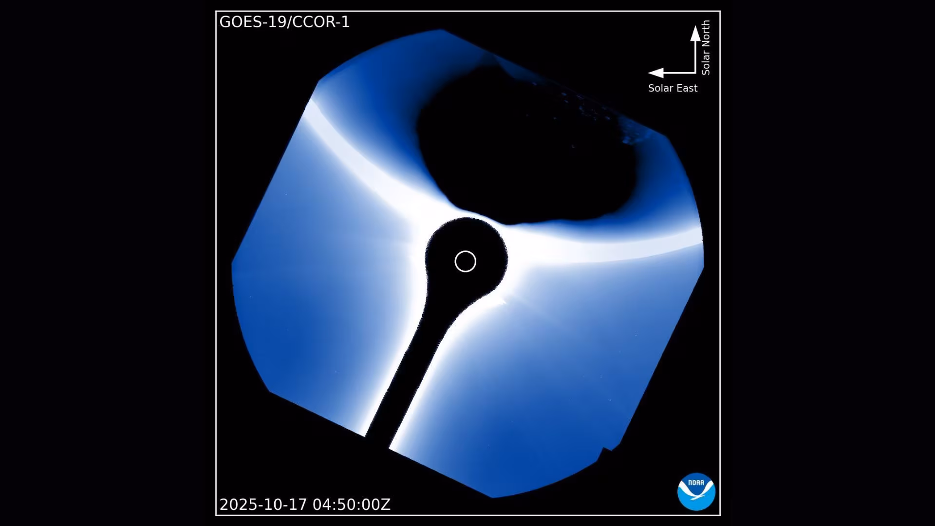
Unprecedented Alignment: Earth Appears in GOES-19 Solar Calibration Photo
In a striking image designated the “photo of the day” for October 23, 2025, the U.S. National Oceanic and Atmospheric Administration’s (NOAA) newest geostationary weather satellite, GOES-19, captured a view of the Sun that included an unexpected guest: Earth itself. While the satellite routinely monitors solar activity, seeing our home planet prominently in the frame is a highly unusual occurrence, resulting from a specific, temporary calibration maneuver.
Typically, when GOES-19’s solar instruments are focused on the Sun, Earth is outside the field of view. The satellite is designed primarily to observe terrestrial weather and space weather, and its solar sensors are calibrated to look past the planet. This rare alignment provides a dramatic perspective, reminding us of the relatively small scale of Earth compared to our star, even when viewed from the close vantage point of geostationary orbit.
The GOES-19 Mission and the Calibration Maneuver
GOES-19 is the latest satellite in the advanced GOES-R series, which serves as a critical sentinel for monitoring weather patterns across the Western Hemisphere and tracking space weather events that can impact infrastructure on Earth. The satellite is positioned in geostationary orbit, meaning it remains fixed over the same point on the equator, approximately 22,236 miles (35,786 kilometers) above the surface.
Why Earth Appeared in the Solar View
The unexpected inclusion of Earth in the solar image was a direct result of a solar calibration maneuver. Satellites carrying sensitive instruments must periodically perform checks to ensure their data remains accurate. This involves pointing the instruments toward known, stable sources, such as the Sun, to measure and correct for any drift or degradation over time.
During this specific calibration sequence, the satellite was momentarily oriented in such a way that Earth drifted into the field of view of the solar instrument—likely the Solar Ultraviolet Imager (SUVI) or the Extreme Ultraviolet and X-ray Irradiance Sensors (EXIS), which are designed to observe the Sun’s atmosphere and energy output.
This maneuver resulted in a stunning visual where Earth appears as a dark, circular silhouette against the blinding brightness of the Sun. This effect is similar to a transit, though in this case, the satellite’s temporary pointing adjustment, rather than a natural orbital alignment, created the perfect ‘photobomb’ effect.
The Critical Role of GOES Solar Monitoring
While the image is visually spectacular, the primary function of GOES-19’s solar instruments is vital for protecting modern technology. Space weather—driven by solar flares, coronal mass ejections (CMEs), and solar wind—can have severe consequences for Earth.
Key functions of GOES solar monitoring include:
- Early Warning: Detecting solar flares and CMEs as they erupt, providing crucial lead time (often hours or days) before the resulting radiation or particles reach Earth.
- Infrastructure Protection: Monitoring solar activity that can disrupt GPS signals, degrade satellite electronics, and induce powerful currents in terrestrial power grids, potentially causing widespread blackouts.
- Atmospheric Modeling: Providing data essential for understanding how solar energy influences Earth’s upper atmosphere and ionosphere, which affects radio communications.
The GOES-19 satellite ensures continuous, high-resolution observation of the Sun, allowing scientists to track these events in real-time. The calibration maneuver that produced this unique image is a necessary part of maintaining the high fidelity of this critical space weather data.
Key Takeaways: The Significance of the Image
This rare photograph, captured during a routine technical procedure, offers several important insights:
- Technical Precision: It highlights the complex maneuvers and precise pointing capabilities required to maintain the accuracy of advanced space weather instruments like those aboard GOES-19.
- Scale Visualization: The image serves as a powerful visual reminder of the vast difference in scale between Earth and the Sun, even when viewed from a relatively close distance in geostationary orbit.
- Operational Context: The event underscores that even highly specialized satellites must undergo regular calibration, sometimes resulting in unexpected and beautiful scientific byproducts.
Conclusion
The image of Earth unexpectedly framed against the Sun by the GOES-19 satellite is more than just a striking photograph; it is a testament to the rigorous operational standards and technical complexity involved in modern space weather monitoring. For scientists at NOAA, the focus remains on the critical data GOES-19 provides to safeguard our planet from solar hazards, but for the public, the image offers a unique, humbling perspective on our place in the solar system.
Original author: Kenna Hughes-Castleberry
Originally published: October 23, 2025
Editorial note: Our team reviewed and enhanced this coverage with AI-assisted tools and human editing to add helpful context while preserving verified facts and quotations from the original source.
We encourage you to consult the publisher above for the complete report and to reach out if you spot inaccuracies or compliance concerns.